
In its original version, the San Diego Tree Map served as a platform to present official inventory data from eight municipalities (more than 340,000 trees), while offering individuals and organizations a means to collect tree data and learn about the urban forest. Urban Ecos served as the project lead for the original map and provided the following services:
- Management of the software development team for the website and smart phone apps
- Support for development of the 700+ species list, data fields,
- Collaboration with municipalities to gather inventories and translate them into the proper format
- Technical assistance to Map users
- Development of curriculum materials for schools
In the newest version, the San Diego Tree Map has been scaled down temporarily following Tree San Diego's adoption of the project. Urban Ecos continues to provide assistance.
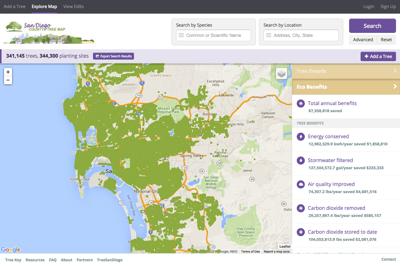


San Diego Tree Map